Rabbit Sweep mapping
Mapping clusters obviously will help cluster members see what they are doing as a group and enable Rabbit Sweep to see what needs to be done by them to help. It is important, however, that Rabbit Sweep is not making private information available to the public by trying to make better use of maps.
Rabbit Sweep urges all participants to make at least a mud-map of their property (see mud map instructions). These will aid discussion and can form an important part of a history that helps with rabbit control.
Two versions of a QGIS map show some of the potential uses. These maps are generated using QGIS (https://qgis.org). QGIS is an open source, powerful, cartographic tool.
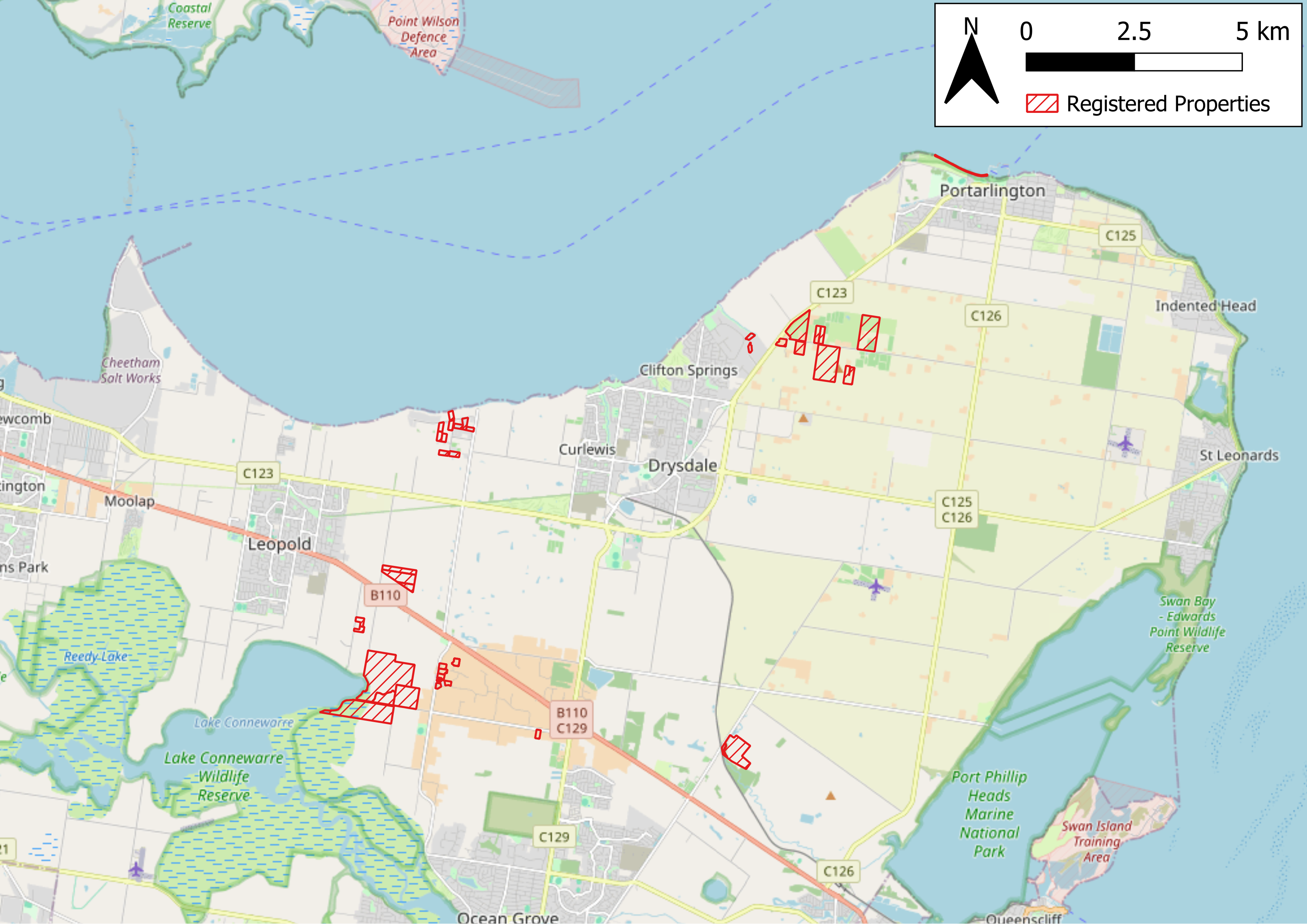
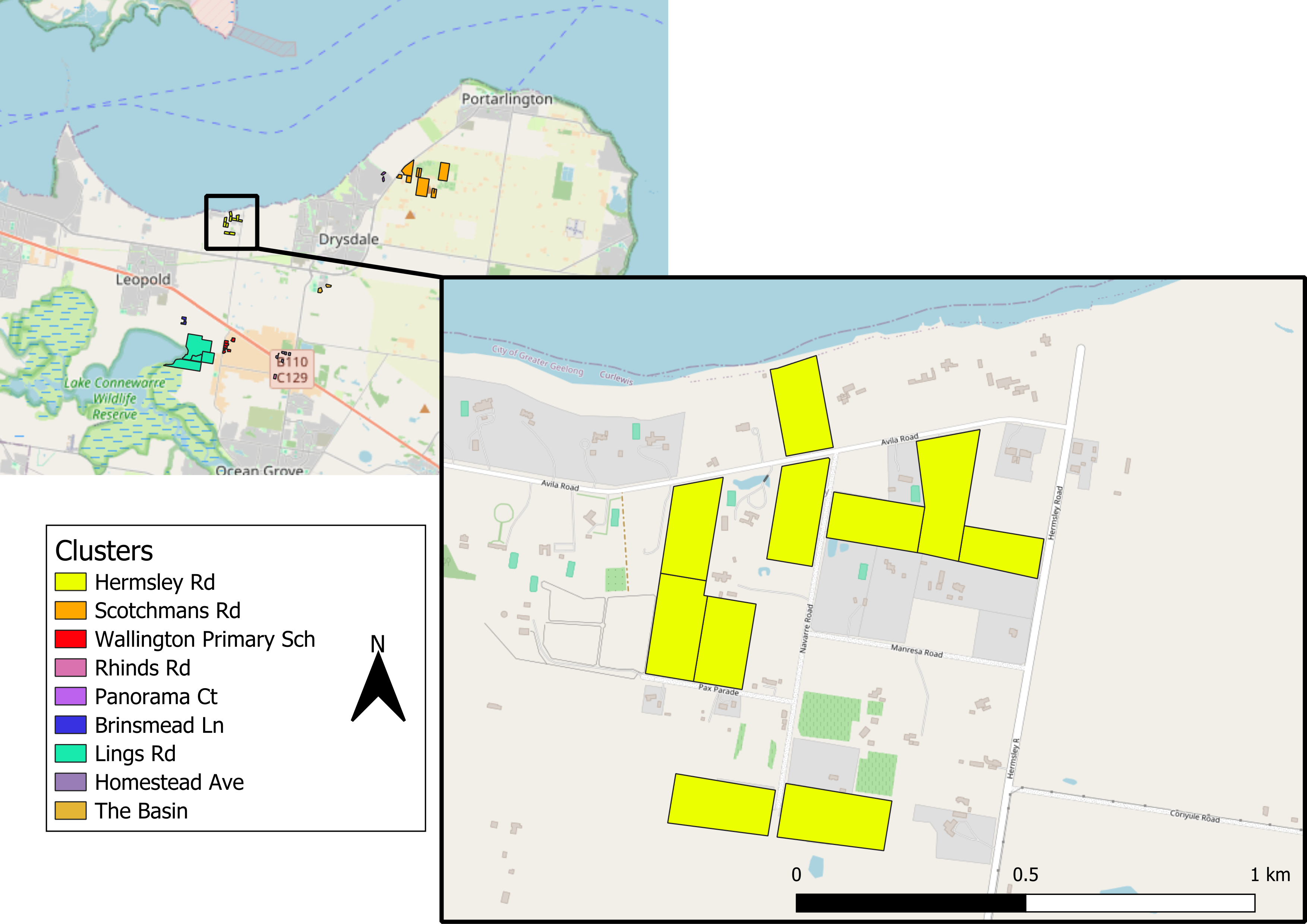
Our third mapping activity relates to the Rabbit Scan work (https://rabbitfreeaustralia.org.au/on-ground-control/shooters-checklist/)
As the website tells us,
RabbitScan is a free resource for landholders, Landcare groups, community groups, local Councils, professional pest controllers and biosecurity groups. It has been designed by landholders for communities, and it is very easy to use.
What to record:
- Rabbit activity (such as sightings and warrens).
- Damage, such as soil erosion.
- Control activities (such as warren ripping).
- Disease in rabbit populations (such as RHDV).
Rabbit Scan does not make recordings publicly available, although it can. It is recommended by Rabbit Sweep, especially when contractors are employed.